Studies and Reports
The Mojave Water Agency has been entrusted with managing the long-term reliability of water resources within an approximately 5,000 square mile area of the Mojave Desert. To assist in the guidance and decision making necessary to support and protect these resources, MWA has worked closely with various entities to gather data and information, producing scientific studies specific to regional subareas. Results from these hydrogeologic assessments provide insight into available groundwater in storage, aquifer space available for water banking, review of the basin water budget, potential infiltration rates, groundwater flow direction(s), flow rates and water quality.
These reports, with maps detailing the area of study, are available here for download.
Regional Studies
Conceptual Hydrogeologic Model and Assessment of Water Supply and Demand for the Centro and Baja Management Subareas Mojave River Groundwater Basin

Oeste Hydrologic Sub-Area Hydrogeologic Report

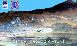
Oeste Hydrologic Atlas

Hydrogeologic Evaluation – Proposed R3 Project Mojave River Channel Area Vicinity Hesperia, San Bernardino County, California

Basin Conceptual Model and Assessment of Water Supply and Demand for the Ames Valley, Johnson Valley, and Means Valley Groundwater Basins

Mojave River Subsurface Structure of the Transition Zone

Este Hydrologic Atlas

Evaluation of Geohydrologic Framework, Recharge Estimates, and Ground-Water Flow of the Joshua Tree Area, San Bernardino County, California

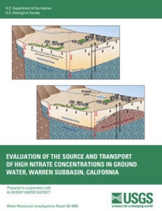
Evaluation of the Source and Transport of High Nitrate Concentrations in Ground Water, Warren Subbasin, California

Mojave River Transition Zone Recharge Project Phase I Report Transition Zone Hydrogeology

Mojave River Transition Zone Recharge Project Phase II Report Groundwater Supply and Demand in the Transition Zone

Simulation of Ground-Water Flow in the Mojave River Basin, California

 Final Report - No Appendices